
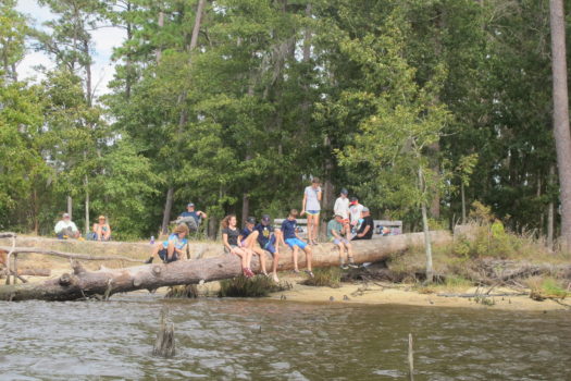
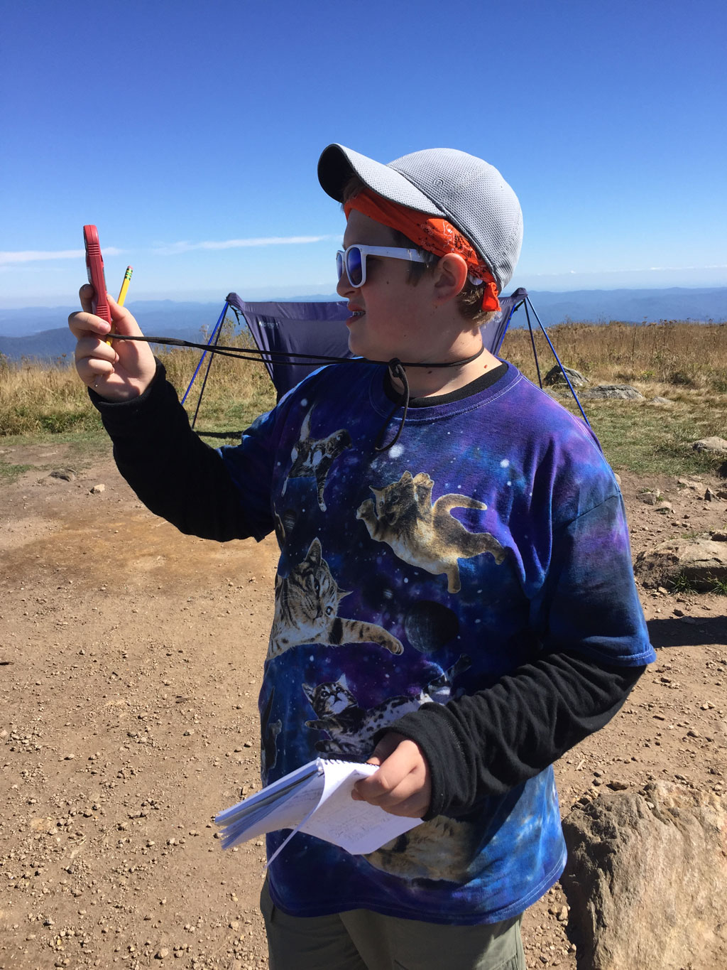
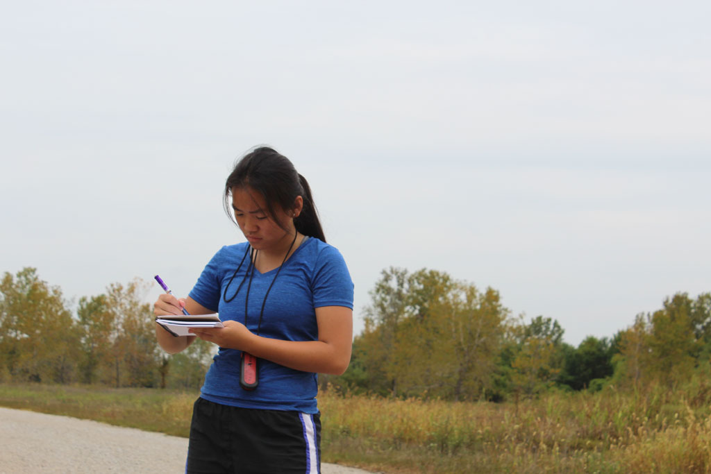
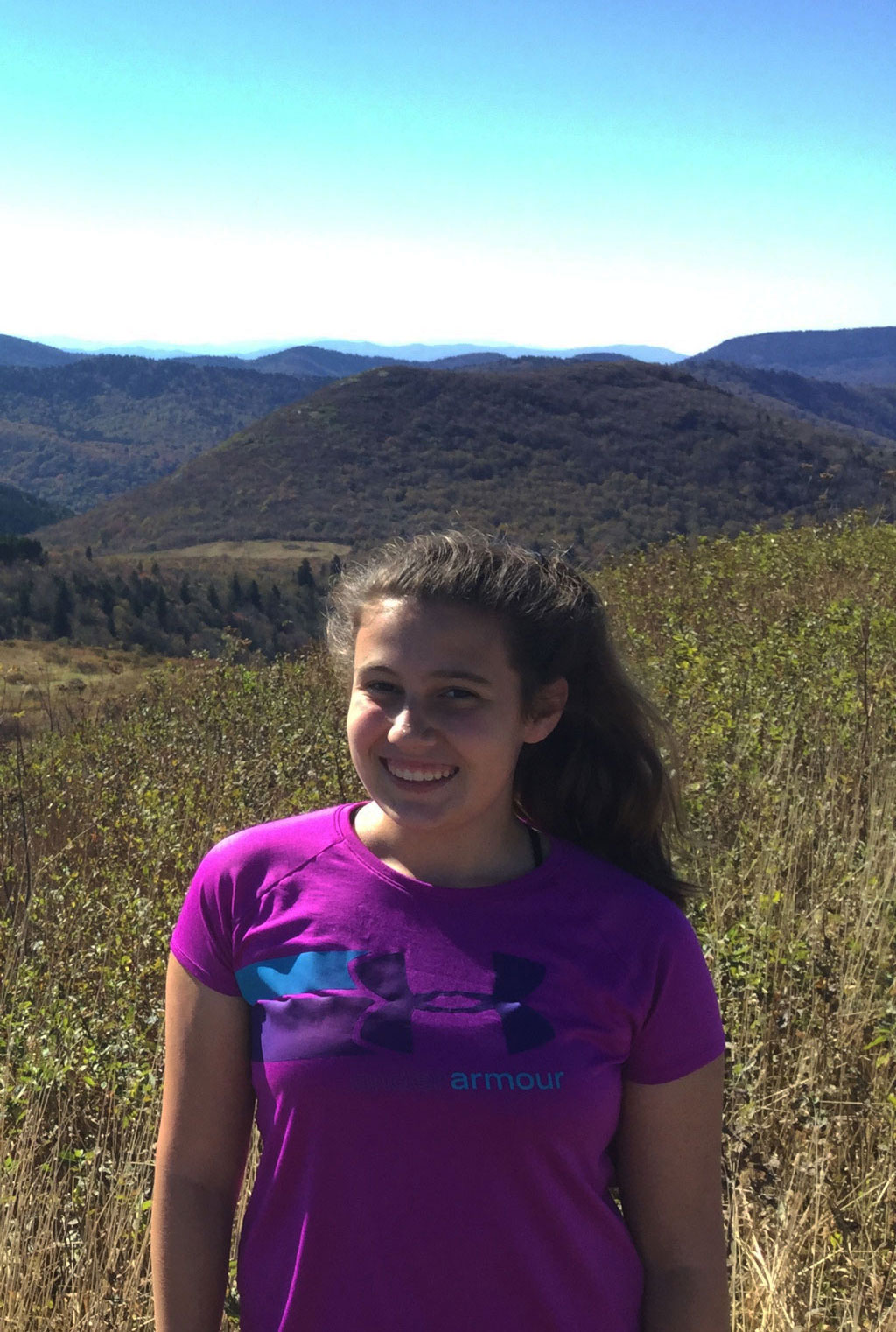
OUR JOBS
Field Ecology is set up in a way that every student is assigned a job in the scientific field. Some of the jobs students can apply for are Zoology (the study of living animals in their environments), Botany (the study of plants), Geology (the study of rocks), DDC (digital data collectors) Meteorology (the study of weather) Chemistry (the study of dirt and water), Human Impact (the study of how humans affect the natural environment around us) and Data Analysis (who compiles all of the data from the different jobs and tries to make connections between it). Each student will then perform that job during the different site studies. You will see throughout this page the huge role that our jobs play during Field Ecology.
DATA ANALYSIS
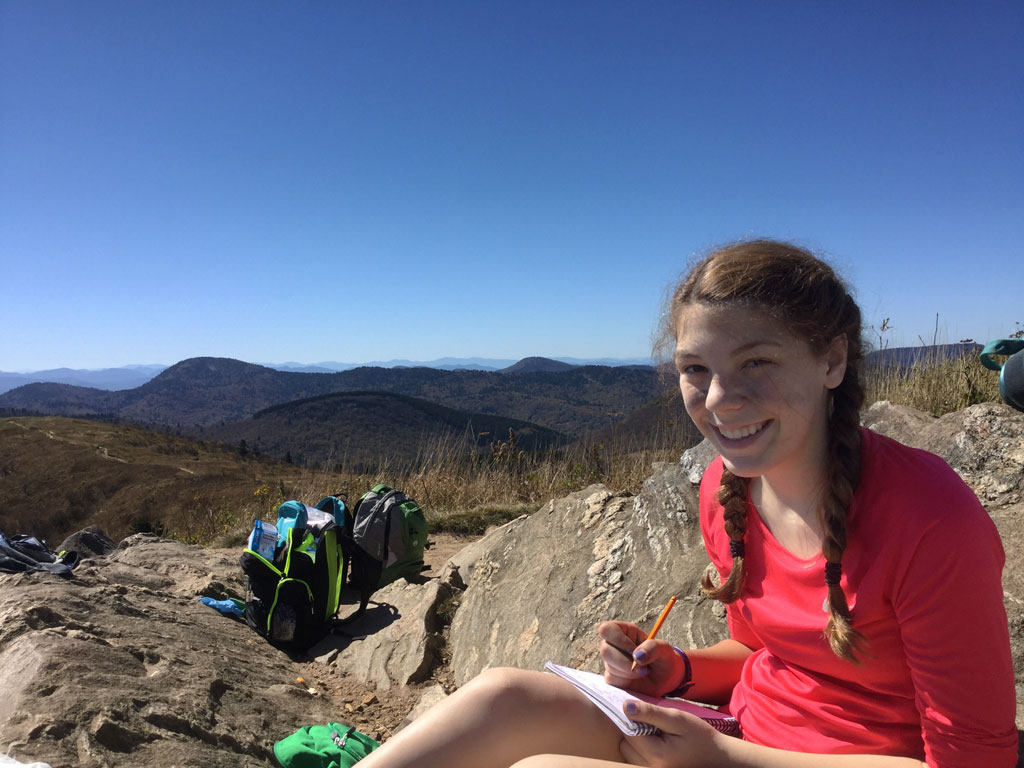
The Data Analysis job is a thing that is not offered every year. The teachers typically offer it when there’s a class that’s larger than usual. Data Analysis is not an easy job. It’s pretty much the center of all the data from all the groups. You will always be busy with something, whether it’s people coming to you with observations or listening in on conversations. For most of the time, it involves following around different groups and collecting the data they find. Then the hard part is finding connections between the teams and figuring out how it affects the ecology of the area you are in. Data Analysis can also be known as “the big picture thinker” because it’s finding where different data from different jobs cross paths. You have to always know what’s happening, and you always have to be up to date with your notes. In this job, you have to collect the data that wasn’t written down. It’s a hard job and you’re always on the move. It takes a lot of thought and energy to successfully find real connections between the data and observations. -Audrey P.
CHEMISTRY

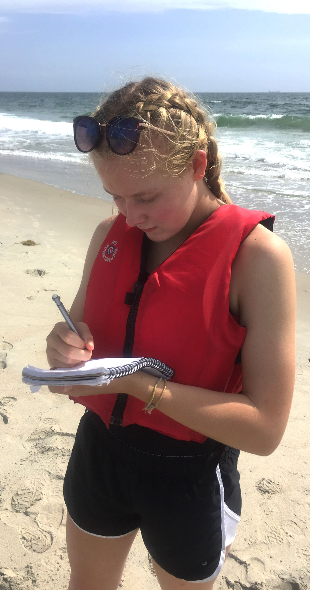
The job of a field chemist is to measure different levels of chemicals in the water and soil. This can be crucial in discovering whether an ecosystem is suitable for life. Everything in an ecosystem is connected and if one organism dies out it can destroy the web of life. The chemistry of water and soil in a site can determine if animals or plants survive. If there is a spill of human waste products, such as detergent, the water and soil effected become less and less suitable for life. When in communication with Human Impact researchers, Botanists, and Zoologists the Field Chemists can paint an accurate representation of what can and cannot live in the environment. -Marshall L.

BOTANY


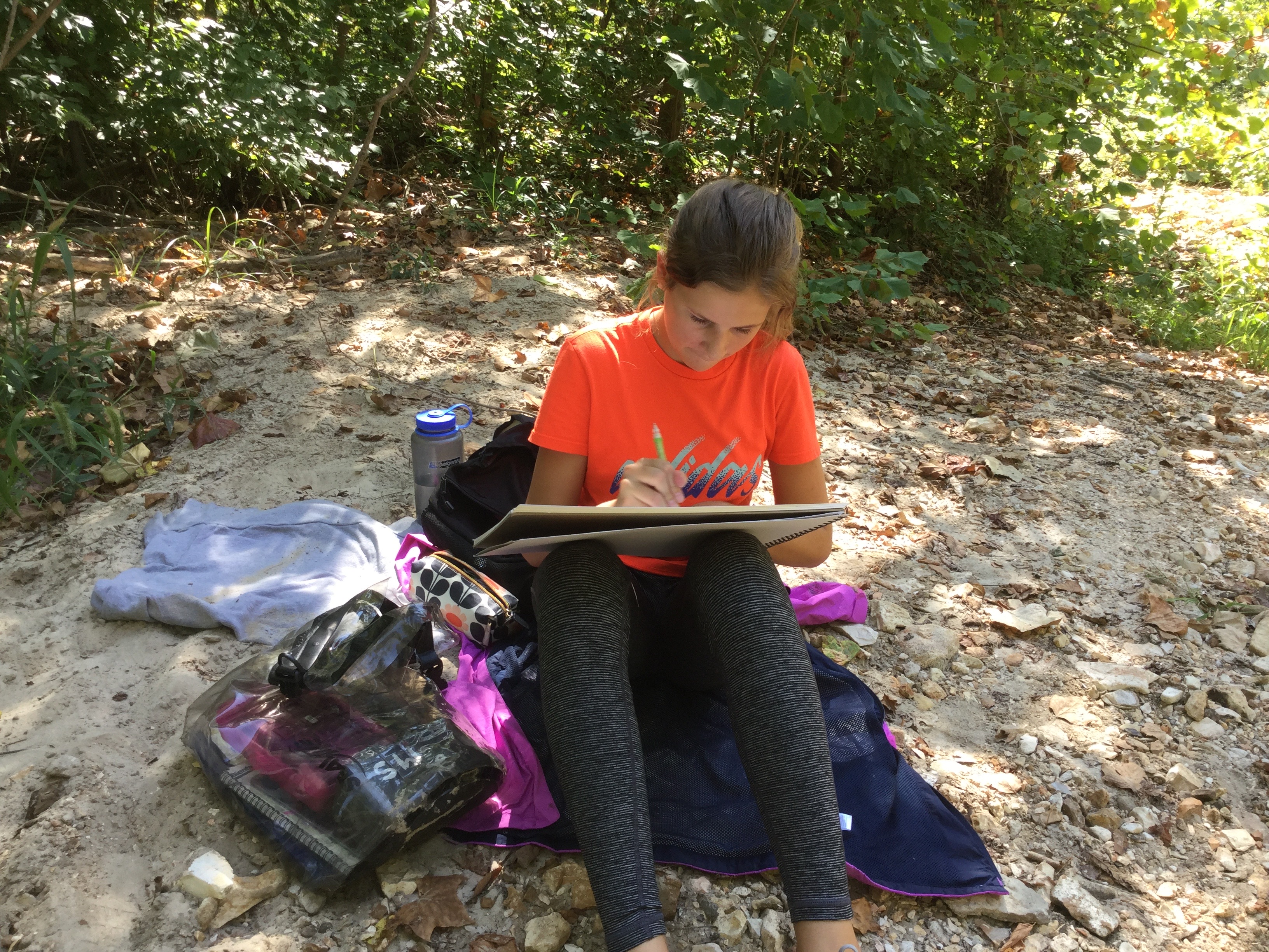
Botanists on field ecology study plants and how they connect to the world around them whether that be animals, soil etc. Botanists make drawing and diagrams depicting the plants on our site studies. The Botanist also works on identifying the dominant plants that we find and we do research to see how they affect the environment around them, for example, botanists identify if the plant grows in rocky or sandy soil or richer soils. A large part of Botany is artwork, the botanists spend a lot of time and effort on making quality artwork that shows the details and adaptations of plants. -Isaac P.
DIGITAL DATA COLLECTOR

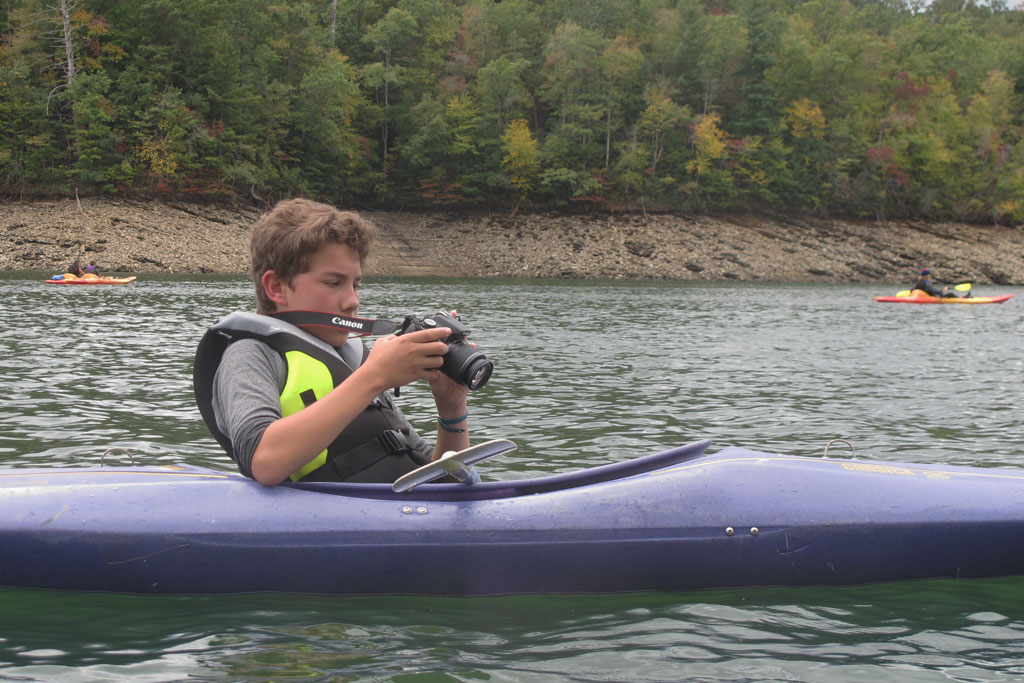

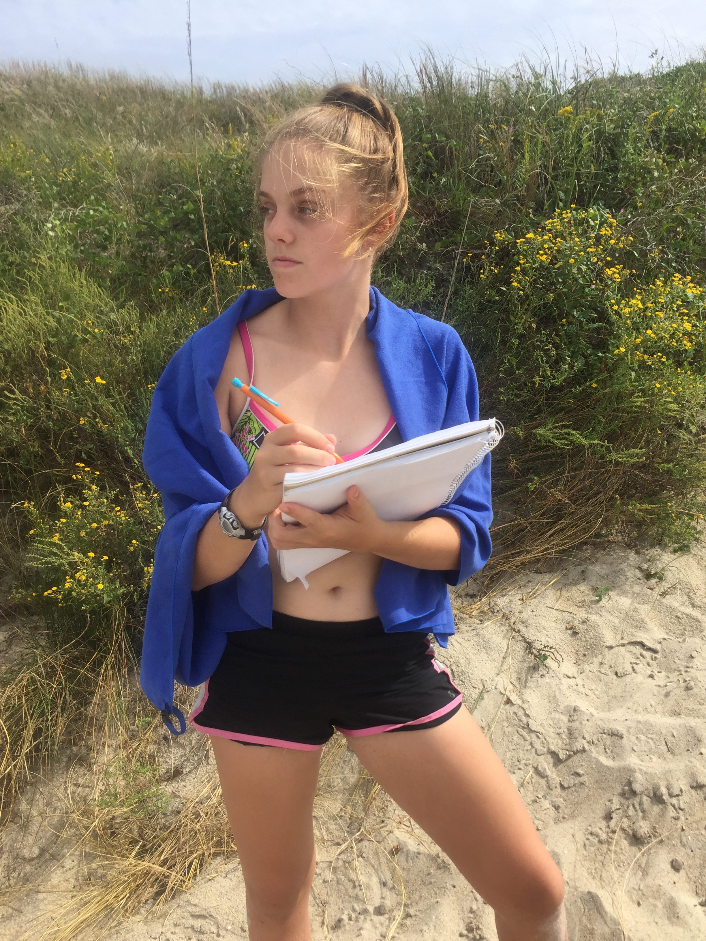
The Digital Data Collectors (DDCs) take pictures and videos to capture our experiences in the field. We also take pictures of the things we find during the site study, including plants, animals, trash and other things. We also take pictures of people doing their jobs, so we can best communicate the experience to others. When we get back we combine our data into a series of movies, photo series and audio clips explaining our experiences. In the past, the DDCs created one movie that was about ten minutes long, but since we’re now doing a website, we are doing a lot of short videos sharing our experience with a larger audience. These shorter videos will enhance the viewing experience by letting people watch only specific parts. While this may be considered one of the most difficult jobs, if you love it, it is fun. -Colton N.
GEOLOGY


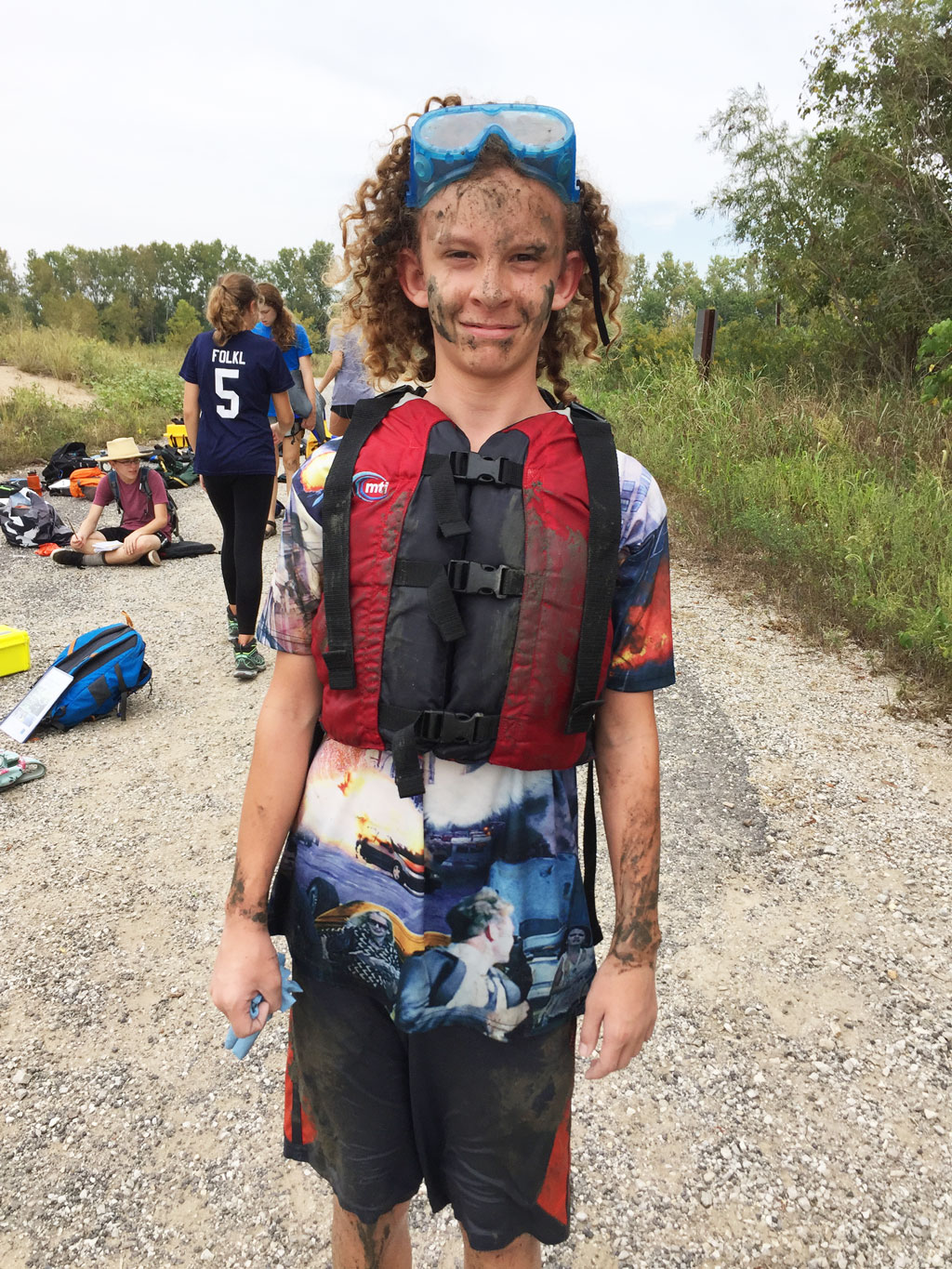
Geology is the study of rocks and the way they affect elevation and water flow. We tested the hardness of each rock so when we got back to school we could try and figure out what type of rock it was. We first had to break the rock open so we could use the non-weather worn side to use for our tests. Once we broke the rock open we had to see if our fingernail, metal nail or glass scratched it. That would tell us the hardness of the rock and help us and make it a lot easier to figure out what the rock is. After we test the hardness we need to test if it’s magnetic. This will narrow down our choices for what the rock is if it is magnetic. Then we would observe it under a field microscope and see if it has any mineral deposits and figure out the size of the grain. Then we would look through our geology books and figure out the best fitting rock to the observations we had. -Koen B.
METEOROLOGY
Meteorology is the study of weather. Its concerned with the process and occurrence of the atmosphere. A scientist who studies meteorology is a meteorologist. There is a handheld weather tool called a Kestrel 3000 which can tell the temperature, give the average wind, speed and much more. The weather can affect the species living in an ecosystem and can be beneficial or give them a disadvantage. Clouds are formed by evaporated water rising to the sky and the more water vapor that builds up creates a cloud. There are three main types of clouds. Stratus, which produces light rain or light snow and appear to be horizontally layered. Cumulous are storm clouds that spread to be light and fluffy. Cirrus clouds can be a sign of a weather front. A weather front is when two different masses of air meet that are of two different densities. -Grace T.
HUMAN IMPACT

For this scientific job, the name is pretty explanatory. Human Impact- more broadly, ‘Qualitative Researcher’- is a job where a group people study and look for ways people have changed and affected the environment. It is our job to record this information, from trash on the ground to man-made nests for birds. Out of our recorded notices, we form ideas and hypotheses, which take us to the end of the journey. In this job, we connect and link two different points, some you would never think to look at. Human Impact Researchers look at an important element brought into our environment; us. -Emma H.
ZOOLOGY
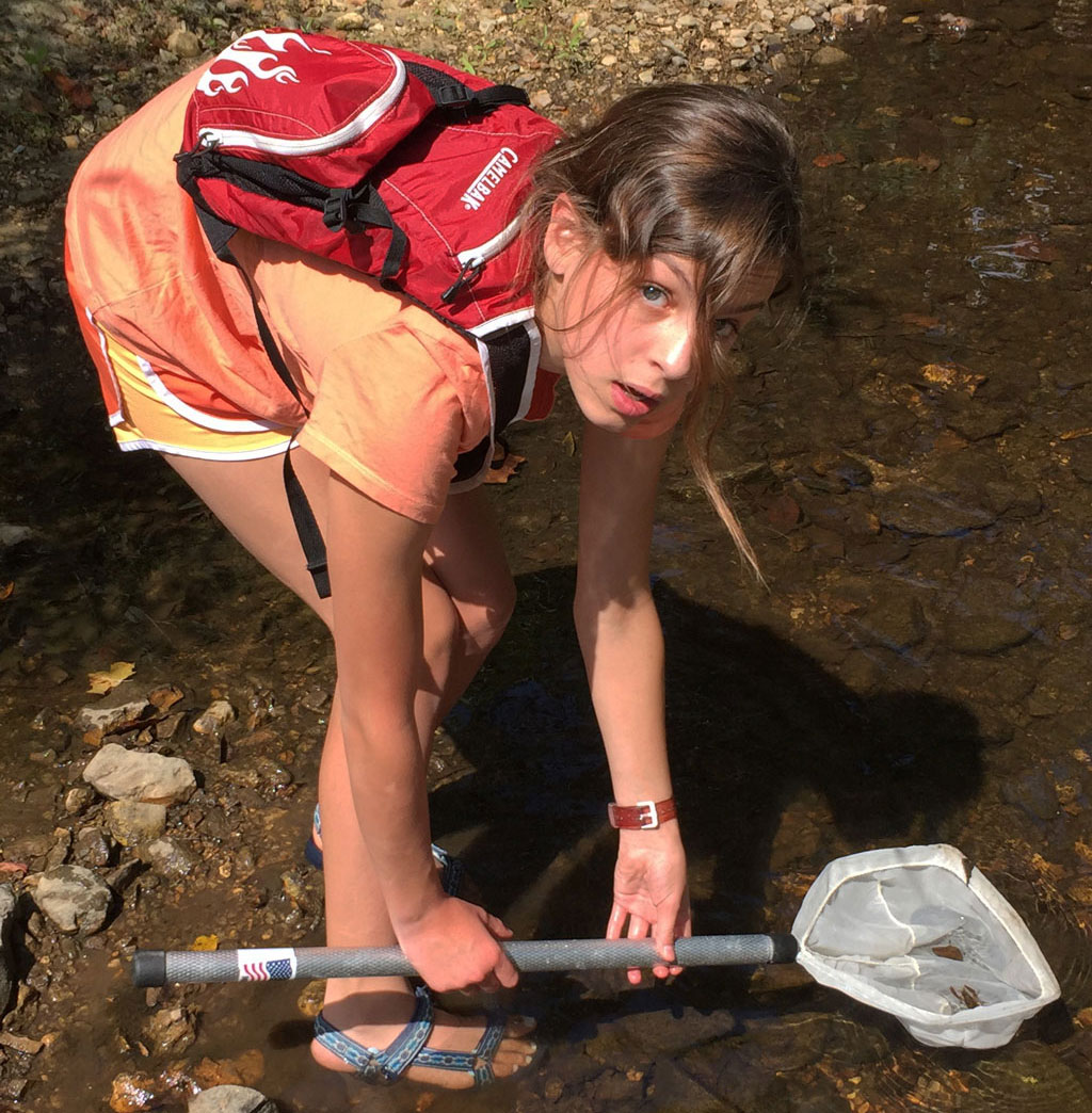


Zoology is the study of animals their diversity, behavior, physical appearance, and more. For this job we do a variety of things. Our first job in Field Ecology is to observe animals. To do this, we find an animal, for example a school of fish, and we sit and observe. We watch what they do and record it in our journals.
Another activity we do is a diversity count. For the diversity count, at every site study we will explore the area and count the amount of animals, and how many of each there is as best as we can. For another example, in Goose Creek, there was a lot of diversity on land, and in water. We do this to better understand our environment and the amount of animals in it. Also, Zoology practices catch and release.
On our trips, either the main one, or one of the Saint Louis ones, we take a variety of buckets, fishnets, bug nets, throw nets, and more gear to assist us. We have caught a variety of frogs, fish, bugs, butterflies, turtles, snakes, and more. We do this so we can take a closer look into the Animal Kingdom. In conclusion, Zoology does a variety of activities at each site study to help our class learn more about animals and their habits and diversity.
CARTOGTRAPHY
Our job as cartographers is to draw the maps of the site studies that we visited during our trips. When we drew the maps we had to make choices on what was represented. We were in charge of making sure each group was well expressed. We communicated between groups in order to label our maps accurately and efficiently. Being a Cartographer also meant that we were in charge of working with the Garmin, a GPS device that helped us calculate the latitude and longitude, elevation, and direction. (North, South, East, and West.) Another task we had was to decide from what perspective each map is displayed. Each site study would have at least one satellite and one birds eye view or human view, depending on what we deemed the best for the current site. We also were supposed to mark our site study area with yellow flags to provide the other groups an idea of where to focus their studies. Cartography is a very hard yet rewarding job.